Citizen Help Network
People Helping People & Animals
Daily Help. Emergencies. Disasters.
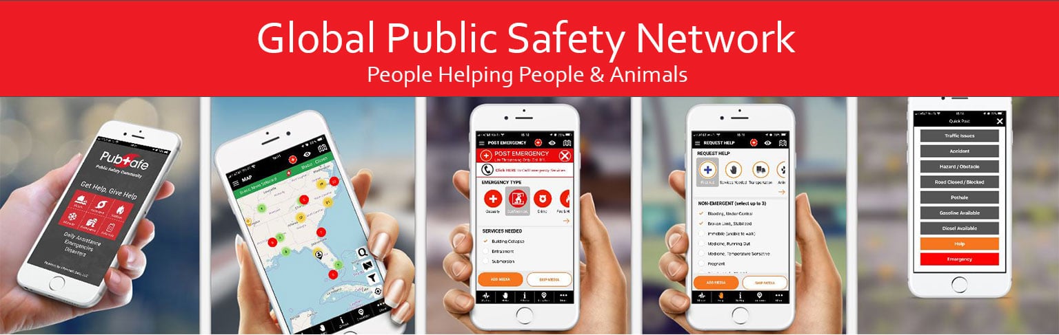
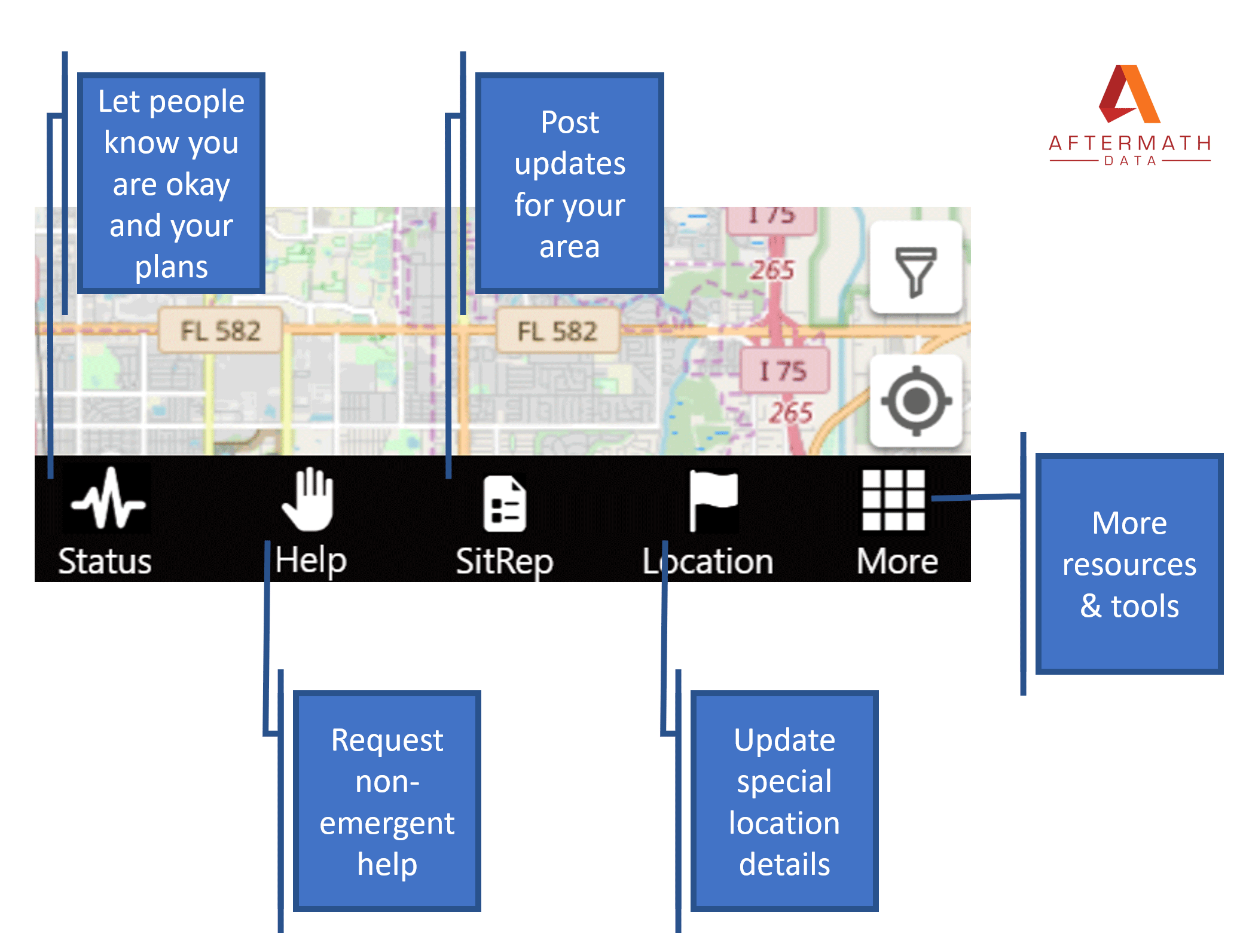
Pubsafe mobile app Connects and Shares Information
Disasters:
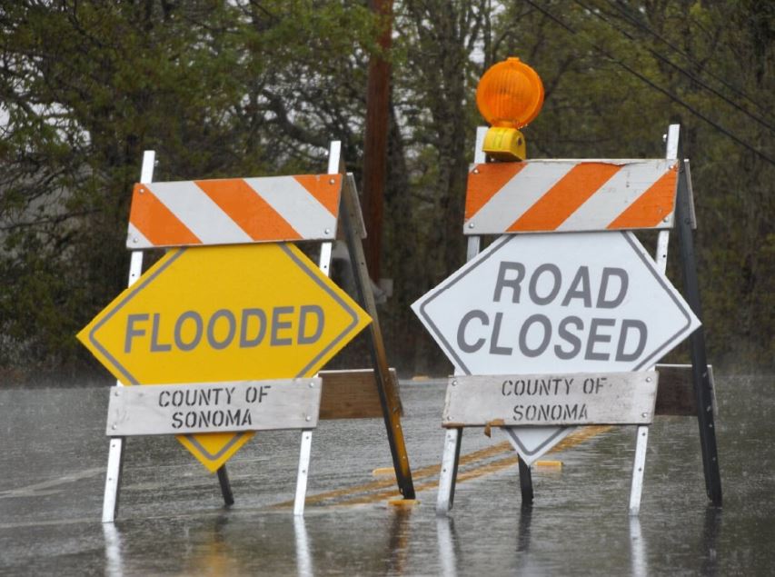
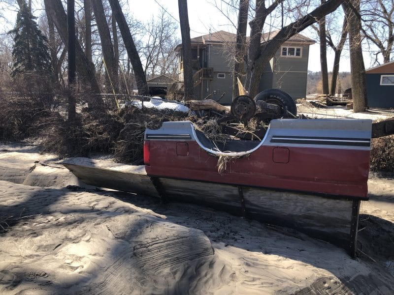
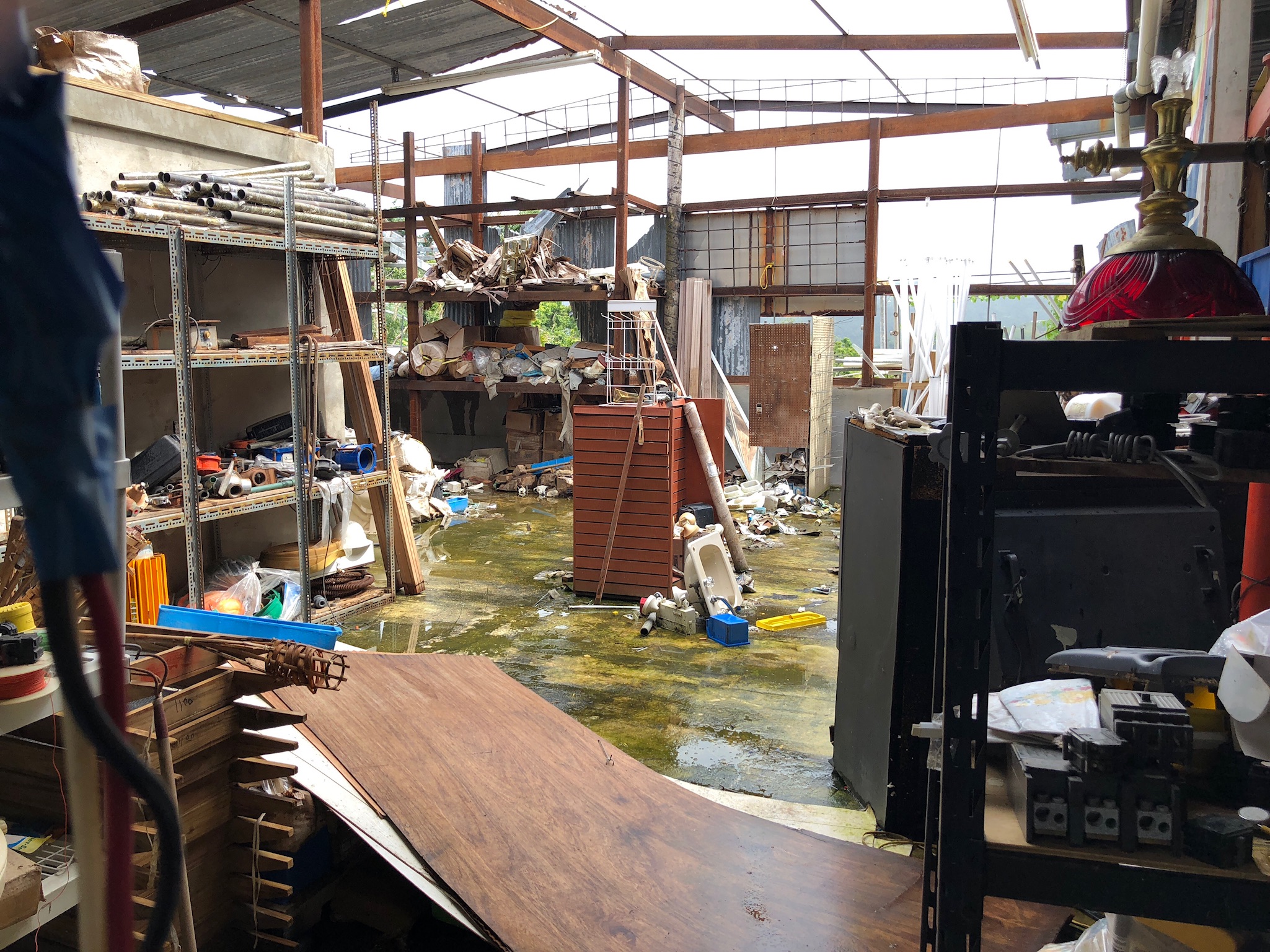
Hurricanes, tornadoes, floods, tsunamis, earthquakes, & wildfires
Emergencies:
Car accidents, active shooters, boating accident, & lost hiker
Daily Help:
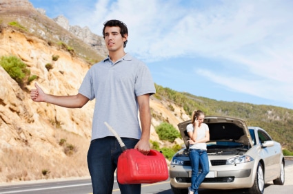
flat tire, down tree, Shovel snow, clothing, food, truck stuck, & breakdowns
PubSafe is a global community ready to help others, get help and share information in real-time. PubSafe is the world’s only network for citizens by citizens, available to governments and non-government relief and rescue organizations.
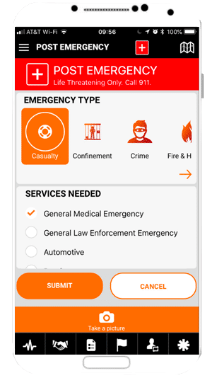
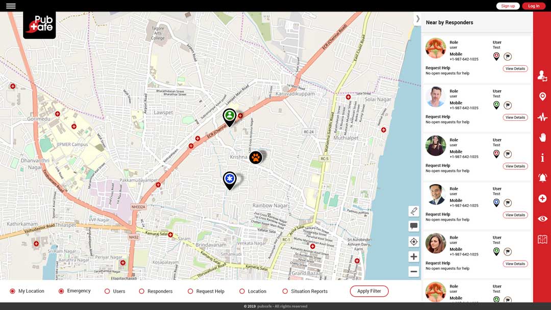
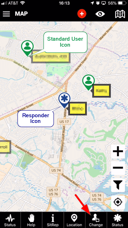
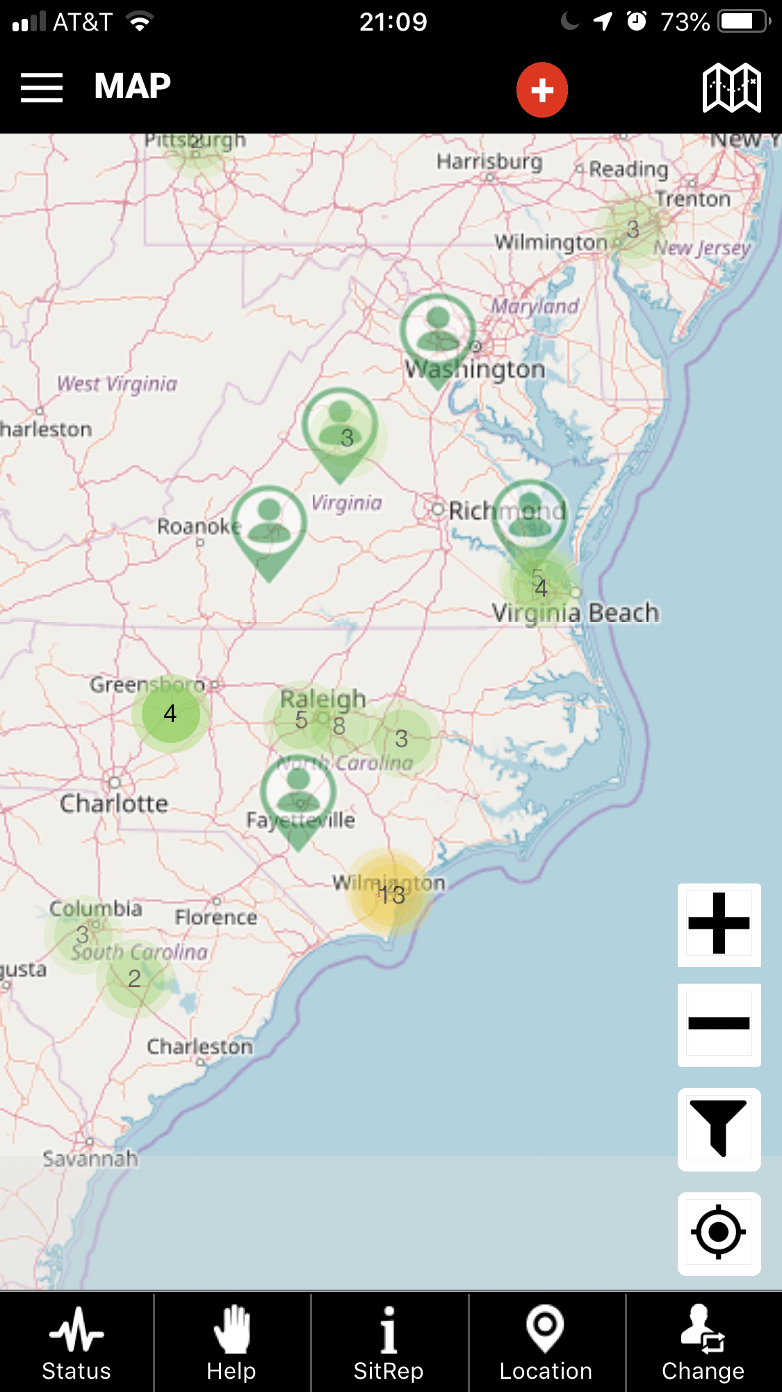
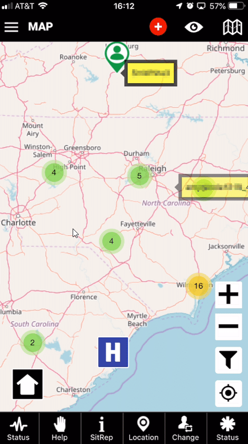
The PubSafe mobile app facilitates real-time information sharing with other users. Users in the area are alerted when a help or emergency is posted. Users can also report the location of animals in need or rescue. If a flood is imminent and you need help moving horses, post a help request. The opportunity to help others is endless and PubSafe connects people effectively and efficiently primarily through the map
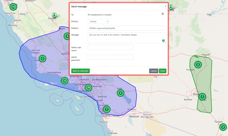
Targeted User Alerts & Messaging
Receive Help Alerts From Other Users
Designed for Citizens
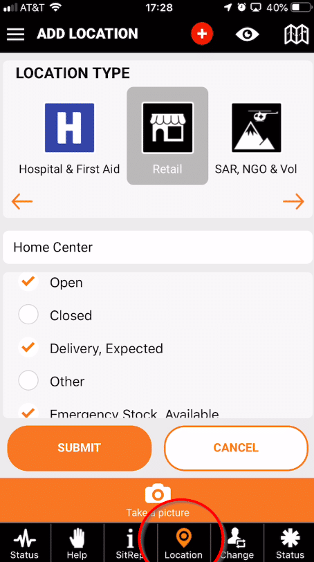
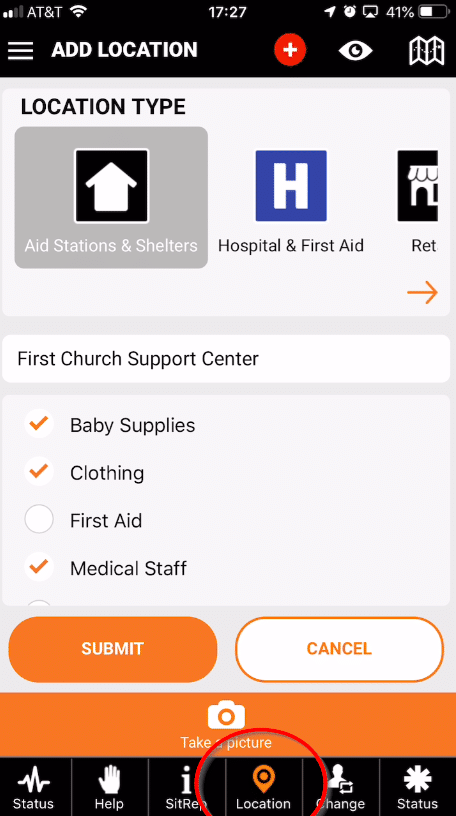
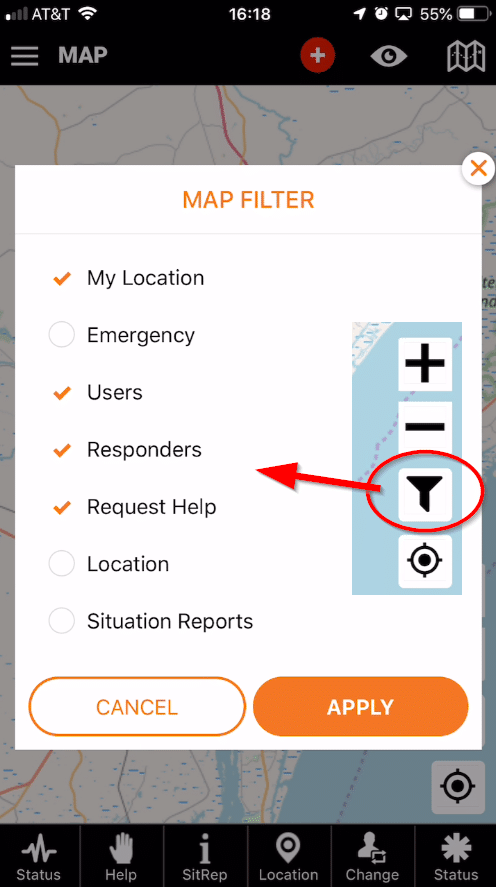
- Map information for situation awareness and rapid response
- Enable neighbors to help each other
- Every citizen is a source of information for the collective effort
- Volunteer NGOs and SAR team rescues
- Churches & non-profit targeted relief
- Government 911 overflow and situational awareness
- Animal rescue groups
Features
- Share your last known location
- Active shooter alert
- Share updates on the situation in your area
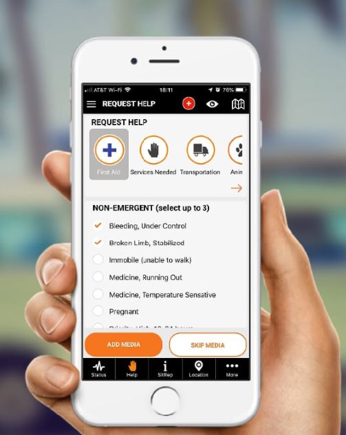
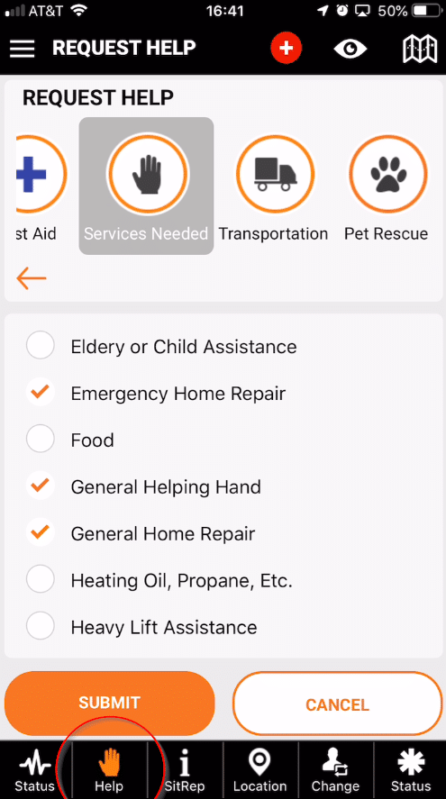
- Request help and give help to people and animals
- Map and update shelters and NGO staging area
- Post emergencies – Rooftop flood rescue, active shooter
- Share data for research to improve large scale response
- Share video & images with first responders and animal rescue teams
- Log volunteer hours for FEMA reimbursement
- Citizen damage assessments
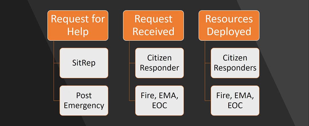
Help Scenarios
Information Sharing
Research
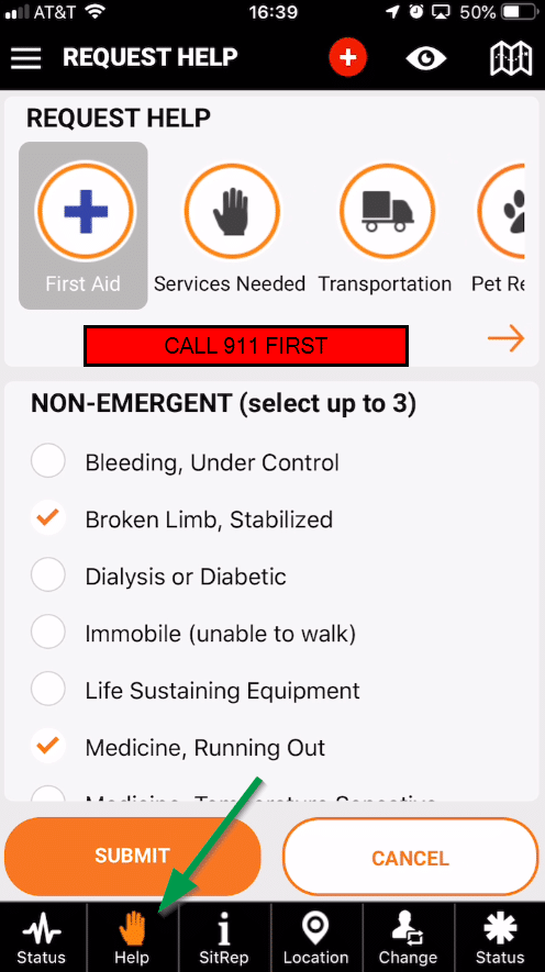
- Request help for routine issues or emergencies
- Share active shooter alerts
- Share location for flood rescue
- Sinking boat location
- Injured hiking location
- Share location with first responders
- Request & log help when 911 is down or overloaded
- Global assistance from other users as you travel
- Injured in the wilderness
- Shovel snow from driveway
- Help changing a flat tire
- Requesting transportation
- Shelter or staging area location & details
- SitReps to share with community
- Mass emergency communication to very specific areas
- Volunteer hours logging
- Citizen damage assessments
- Sharing images & video for EOC awareness
- User movement patters during disasters
- Improved evacuation planning and routing
- GPS tracking integration for equitable public service
- Asset location – generators, police, rescue, etc.
- Post disaster research
- Track damage recovery progress
PubSafe requires cellular connection and data service to operate. Always call 911 first in an emergency. 911 and EOC may not be monitoring the PubSafe app. All use is at your own risk.
Mobile App Collects & Connects
The PubSafe mobile app shares information in real-time to improve communication and response to people that need assistance. Assistance may be a flat tire roadside, a medical emergency while boating or a wide scale response to disaster such as Hurricane Harvey, the California wildfires or a tsunami.
FREE to Government agencies
Because the PubSafe app data is free to government agencies to use to improve emergency and disaster response, it is not limited by city, county or state budgets. This “umbrella” platform is the only network of its kind in the world, and it operates worldwide. APIs enable the sharing of specific data during specific times.
Free Government Access For Disasters & Research
Government agencies are encourage to install, monitor and respond to emergencies that are posted to the mobile app from the 911 center. The app data is not intended to replace current systems but to augment them. Since the app does not have political boundaries, emergency management can monitor issues nationally and internationally.
When 911 is overwhelmed, the first person that can render aid may be a neighbor. PubSafe provides communication across information silos. As disasters evolve data will eventually be managed by the users role within disaster designated areas. This works to deconflict and prioritize response assets while continuing to utilize NGOs and good samaritans for less emergency help requests.
FEMA can only help so much and information management and communication are limited by people, phone systems, operators and government political boundaries, until now.
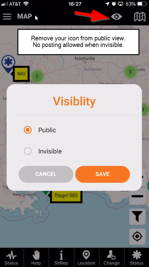
Privacy
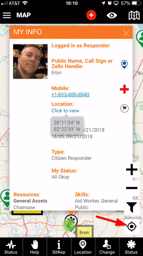
Privacy and security is a notable concern. The tradeoff between being able to get or give help and some data being visible is a decision for each user. Tools such as going “invisible” or hiding a phone number give the user control over when and what to share.
Sharing data to various agencies with a proven track record of responsible data management is an important aspect of the Aftermath Data platform. With the right controls and limitations the data can be used to observe anonymous user activity during a disaster and to study the general population’s response after an event to better plan and prepare for future events.


Download the Mobile App

Search for “PubSafe” on either app store.
Respond to Daily Help Requests
PubSafe isn’t just for emergencies. People need help every day with little things such as a ride, diapers or a simple monetary gift. PubSafe provide an environment where people can monitor help requests globally and help when and how they desire. By joining you can receive alerts when someone in your area posts a help request. You can set the radius for routine help alerts and for emergency help requests to a max effective range that suits you.
Join today and just be an observer to see how it works. You can remain invisible until you are ready to respond or until you need help yourself.
Share information
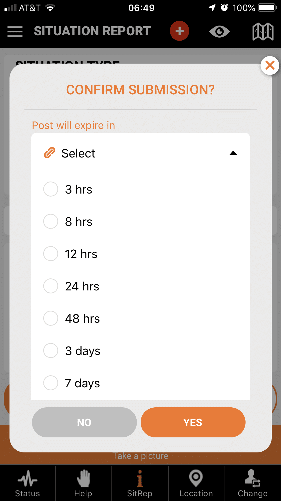
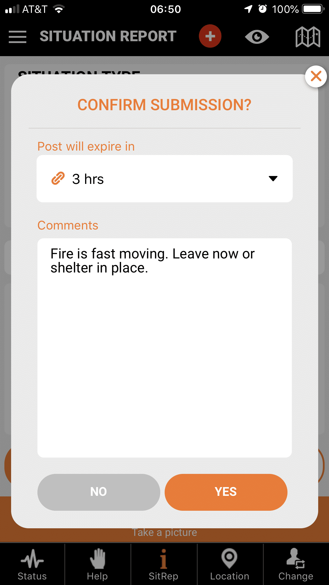
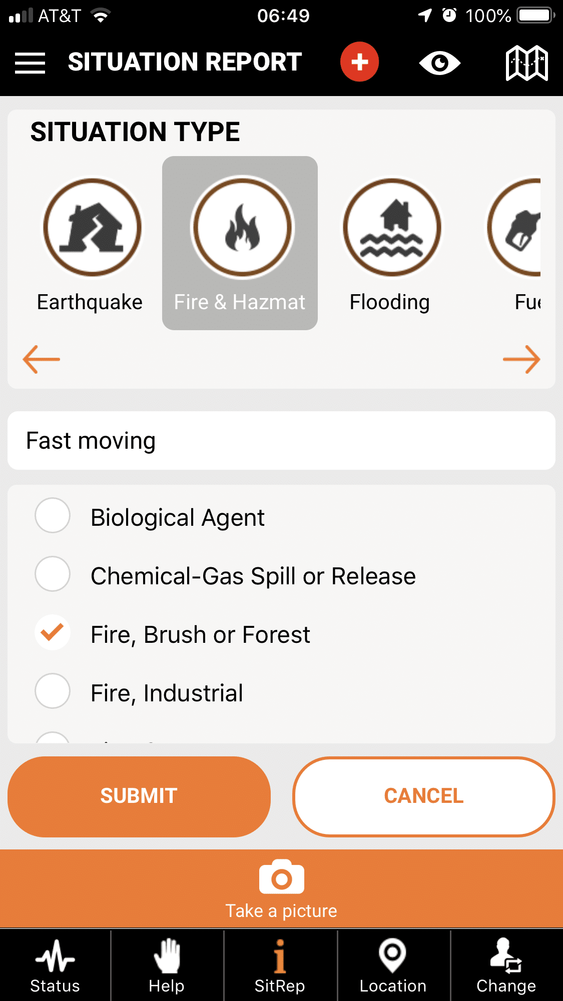
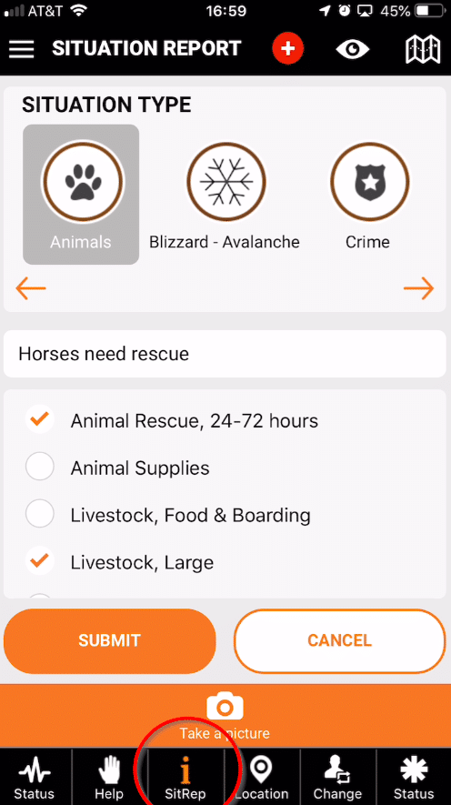
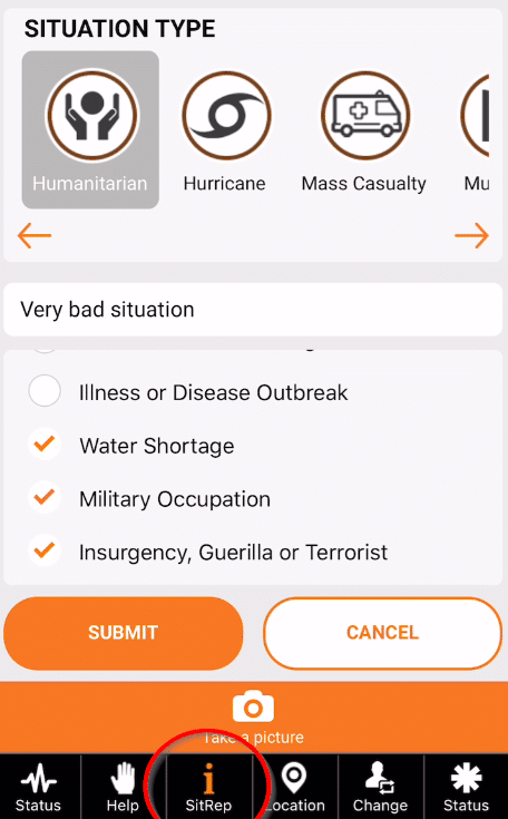
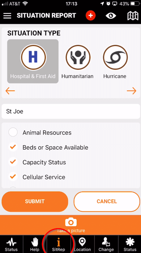
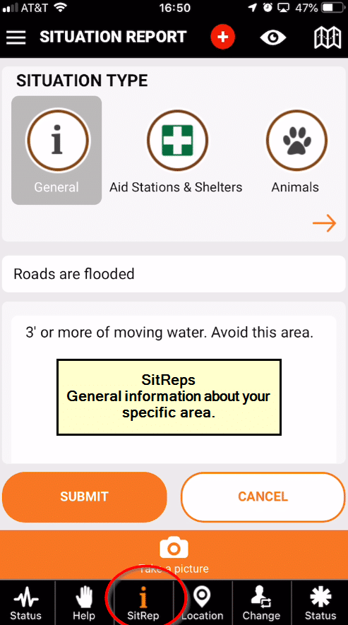
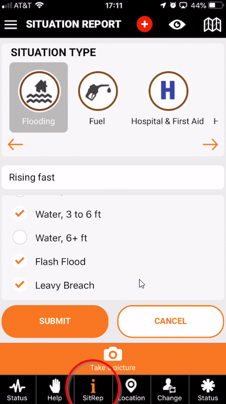
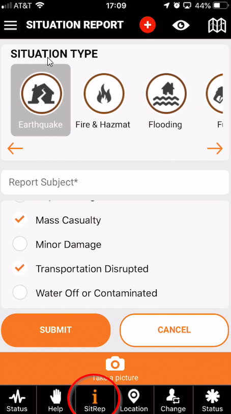
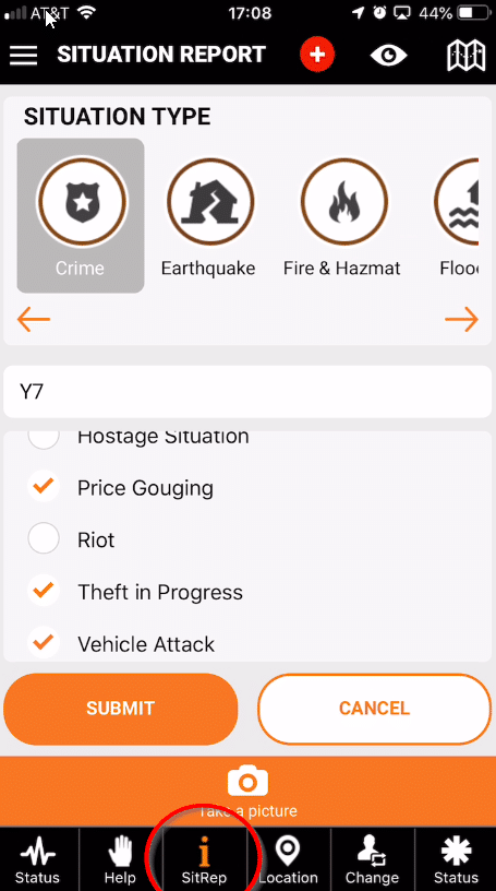
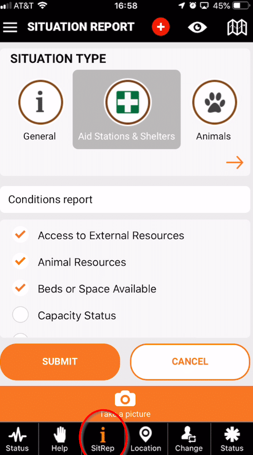
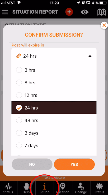
Situation Reports (SitReps) enable citizens to share information for a limited time from across the globe. Information sharing enables people to come from other areas and help more effectively during times of reduced information or lack of direction from government. It can also feed data to emergency operation centers (EOCs) for more efficient responses. Location data can be used by organizations like the Red Cross to communicate where and how to get aid.
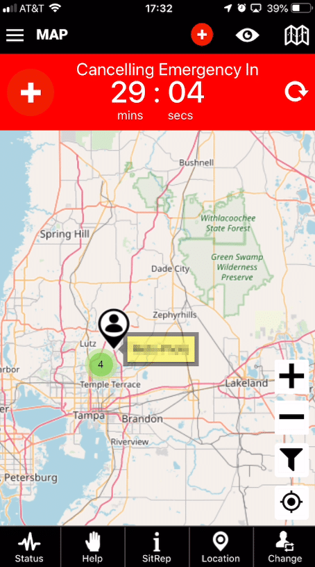
SitReps are plotted on the public map where citizens in an area can confirm the events around them. Responders and volunteers can see roads that are closed, water that is rising or if everything is okay.
The Future of Disaster and Emergency Response is Here!
Users
- Everyday citizens
- Update information in real time for others to see
- Submit situation reports (SitReps) for other users, SAR, NGOs and NERT teams
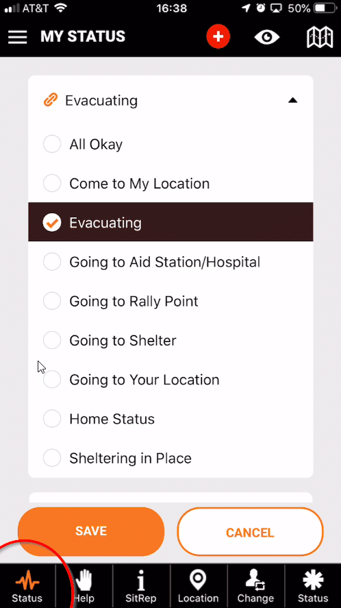
- Request help from the responders and NERTS (citizen responders, government, and private groups.
Responders
- Citizens registered to help – Initiative
- Time, resources or skills to help in a disaster
- First to respond to requests for help
- Augmenting response prior to government assistance
- Mission assignment from help requests or government tasking
- Provide information to EOC used in the overall disaster response
Government
- Local, state or federal officials needing real-time data
- View “hot spots” and allocate proper resources
- Track frequency, location, and type of help requests
- Augment 911 services when overwhelmed
- Improve communication across agencies with umbrella data source
Corporations
- For profit and non-profit organizations
- Large-scale to church parking lots
- Go to “hot spots” and render assistance
- Update status of shelters, supplies, and aid locations
- Establish aid stations on the fly and publish details
- Contribute to national data collection program for analysis
How It Works!
Although Pubsafe is not directly connected or integrated with EOC and 911 services, it is free to these organizations and we hope EOCs, FEMA, the Red Cross and others view the data to augment current data collection methods. We welcome the opportunity to discuss integration and other services with FEMA and other government agencies.
Why Participate?
Good, real-time information can save lives. The more people that use the service the more information that is being shared. This data is also critical to asset and resource allocation ranging from an individual with a chainsaw, to fire trucks, to the National Guard.
Keep the Aftermath app on your phone and up to date at all times. In today’s world, you never know when you will be involved in a crisis and 911 is unresponsive. Facebook is great but it limits data to specific groups and friends. Aftermath is designed to be open to the public, protect your identity and bridge the data gap between people and organizations.
How can you help?
Users can simply spread the word on social media and share the “Aftermath Data” app before you need it, during and after an emergency or large-scale disaster. The more users, the better the data and the more people are helped.
Government agencies can request more information on data services and encourage people in the path of an event to download, share and use the app.
Join a Volunteer Organization & Use the App
Examples:
- United Cajun Navy
- Team Rubicon
- Crowdsourced Rescue
- View More